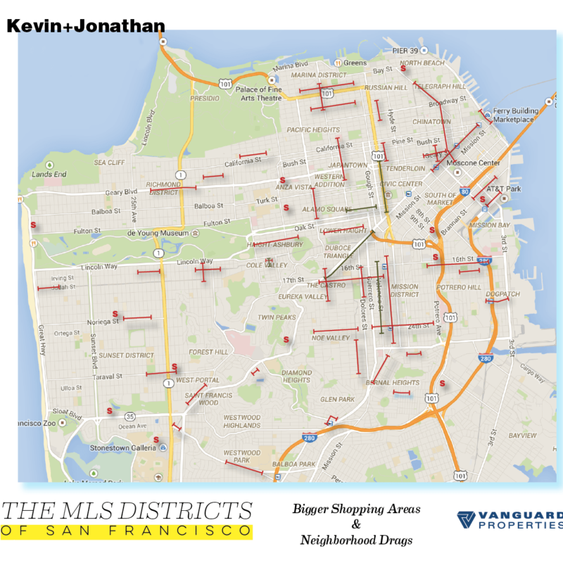
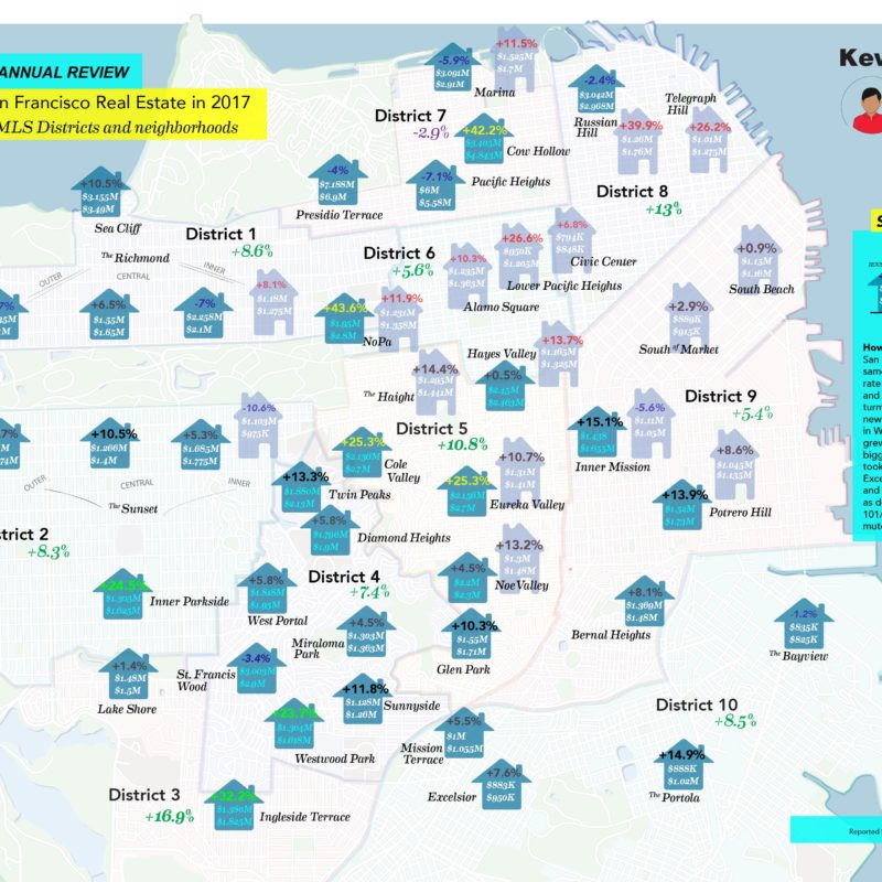
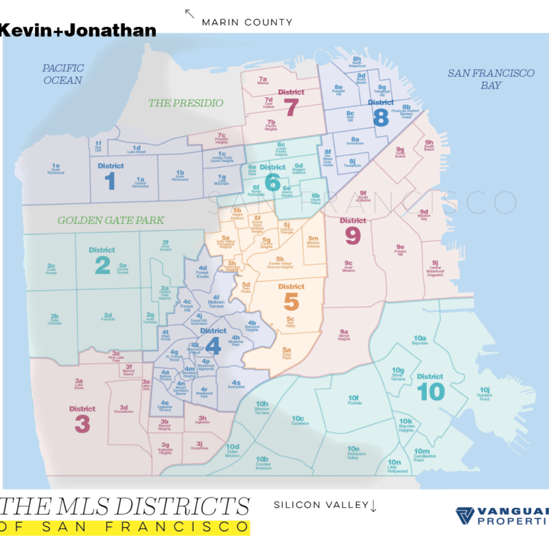
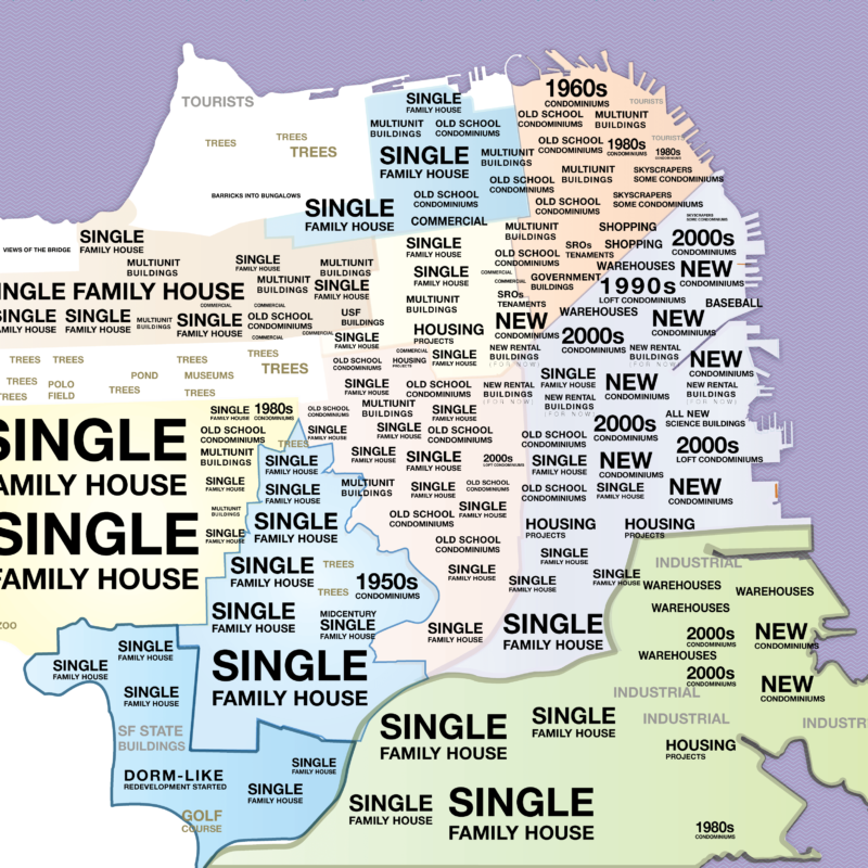
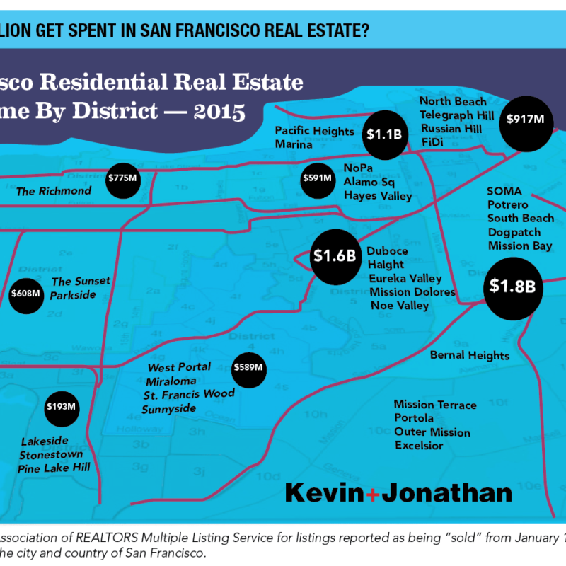
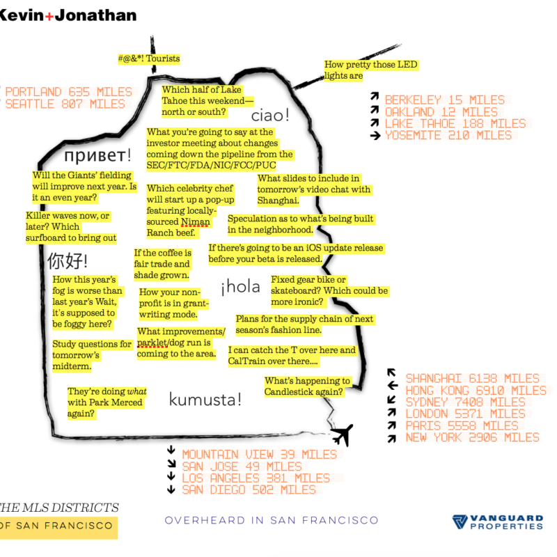
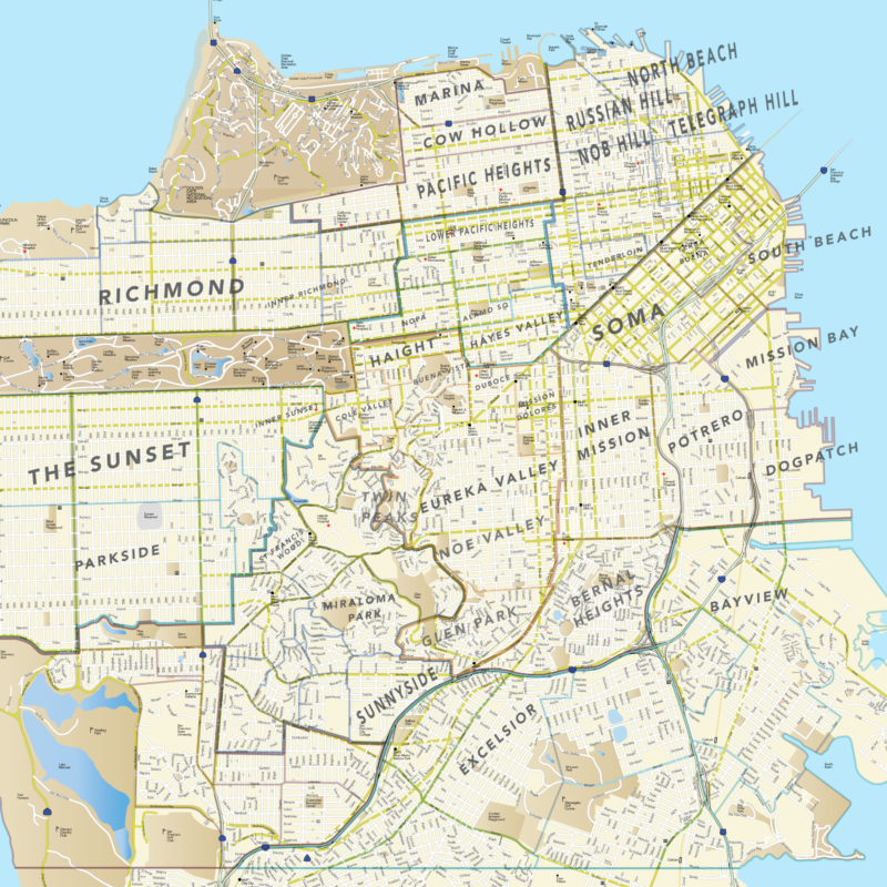
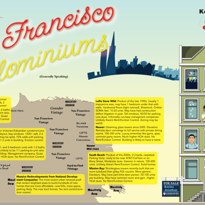
There are 10 main MLS districts in San Francisco with about 85 subdistricts. Take a look at each by clicking below.
Click on any map to enlarge.
The Map Carousel...
Did You Know…
Here are some interesting facts about our fair city.
The same developer who planned the original South Park wanted to emulate a London square/oval was the same one who sold Leland Stanford the land for his university.
(Military General) Governor Stephen Kearny auctioned off water lots in 1847 that would later become Mission Bay.
Geary Boulevard was called Point Lobos Toll Road. Pt Lobos led to the Richmond, which was home to dairy ranchers and farmers until the first Cliff House opened in 1863 which introduced more people to the area.
The Sunnyside district was a creation the real estate speculator named Behrend Joost in 1891 who lured residents there by the promise of the city’s first electric streetcar, which was a company his two brothers (Isaac and Fabian) had incorporated the predecessor to today’s MUNI. The line, however, was too far and deemed to be dangerous in parts.
Did you know that Ingleside Terrace was the site of the first race car ever taking place in California? If you trace Urbano Street you’d see it’s a racetrack oval. Also, the area was site of the world’s largest sundial (for a time) as the sundial was built to appeal to younger buyers of the time (the 1920s and1930s).
